City Lerchenfeld
Project Landscape Architecture LA I, Winter Semeseter 2010/11
Topic
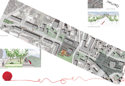
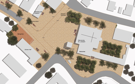
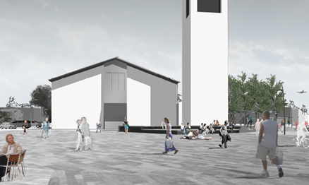
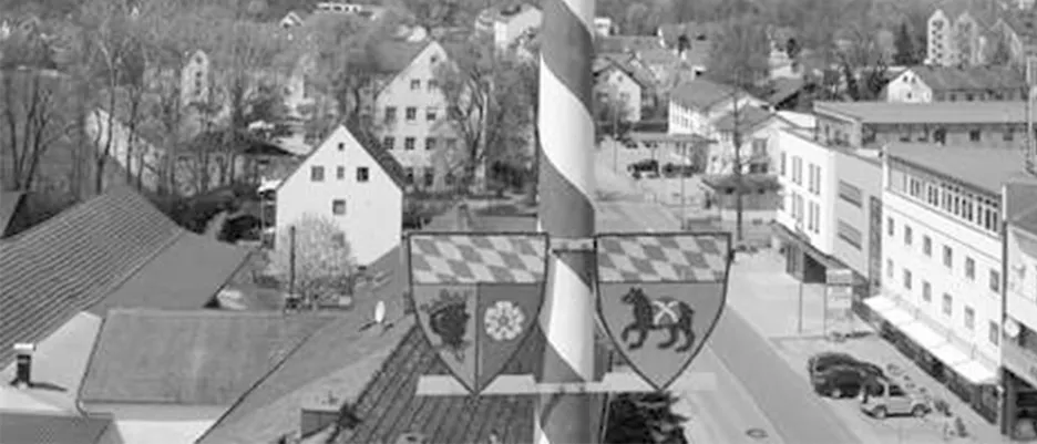
Lerchenfeld - the Freising "rive droite," apart from the more privileged riverside with the city center and significant hills, has been and still is the late-developed and infrastructurally disadvantaged side of the river in the city. Aside from the thriving industrial areas on the outskirts, the smaller-scale offerings for retail, dining, and public facilities are very limited. The western section of Erdinger Straße has evolved into a district center over the last 10-20 years. Shops and dining establishments have settled in, attempting to liven up this stretch of road with their outdoor areas in good weather. However, vacancies and rapidly changing tenants of ground-floor commercial spaces are indicative of the poor acceptance and lack of independence of this urban area, where one usually encounters more cars than people. This impression is further reinforced by the southeastern end of this development mile - an intersection that, upon considering the established facilities, likely represents the center of Freising's largest district in terms of area. In the midst of this intersection of Erdinger Straße/Kulturstraße/Kepserstraße/Moosstraße and Rabenweg stands the Campanile of St. Lantpert's Church since the 1980s, with its landscaped and introverted forecourt. Also located in close proximity are the Kirchenwirt "Grüner Hof," a Maypole, banks, convenience stores, as well as small infrastructures such as mailboxes and phone booths. When the Lerchenfeld residents want to celebrate, they block the traffic junction and take to the streets. This center of Lerchenfeld has some of the features one would expect from a district center, but it may appear relatively uninviting to the observer, as does the western section of Erdinger Straße, which leads to the Isar River and the picturesque old town center.
Task
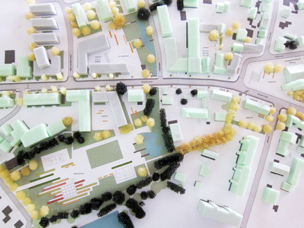
This central public space in Lerchenfeld needs to be upgraded. As a first step, the surrounding area should be defined in mutual dependence with the overarching design and functional concept. Which building entrances and street spaces will be included in the public space, what will be left out, and how will the transition to the northwest Erdinger Straße be defined? Is this axis the backbone of the new city, extending to the Korbiniansbrücke?
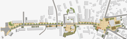
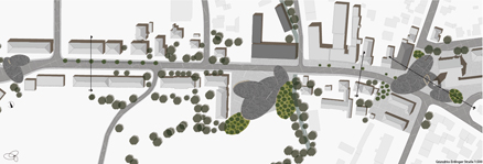
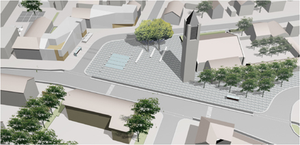
What functions and attractions should the selected area offer, and what are the appropriate design elements for this location? Both stationary and moving motor traffic will continue to play a role and must be integrated in a compatible manner. For the broader project area (Erdinger Straße West to Kirche/Schule), a urban and open space planning concept should be developed, which should be presented in a freely chosen urban scale (e.g., 1:1000/500) and accompanied by explanatory sketches.
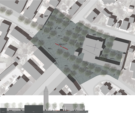
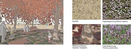
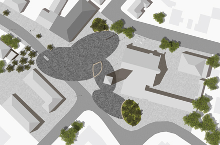
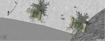
For the narrower area (current intersection area with surrounding facilities), a design should be presented in an object planning scale, in plan M 1:200 and possibly smaller sections, sections, perspectives, and sketches, along with a design explanation.
Supervision
Prof. Regine Keller, Dipl.-Ing. Doris Grabner, Dipl.-Ing. Felix Metzler, Dipl.-Ing. Albert Gründel, Dipl.-Ing. Johannes Keller