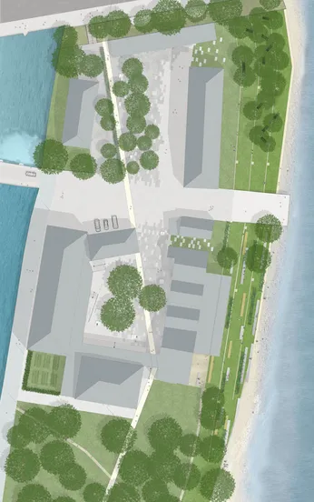
Waterfront II Strategies
Semester Project M.A. Landscape Architecture, Wintersemester 2011/12
Project Landscape Architecture LA IV
Topic
In the summer of 2011, the final section of the Isar River renaturation project was completed, marking the conclusion of the Isarplan project after more than a decade of construction. The primary goals of the Isarplan were to improve flood protection and enhance the Isar River as an ecological habitat and recreational area.
Today, the results of the Isarplan enjoy high acceptance among the city's residents and recognition from international experts. The concept of a "mountain river in the city" seems to resonate with the lifestyle celebrated by the people of Munich. The construction measures of the renaturation project are the outcome of a lengthy decision and planning process that began in the mid-1980s.
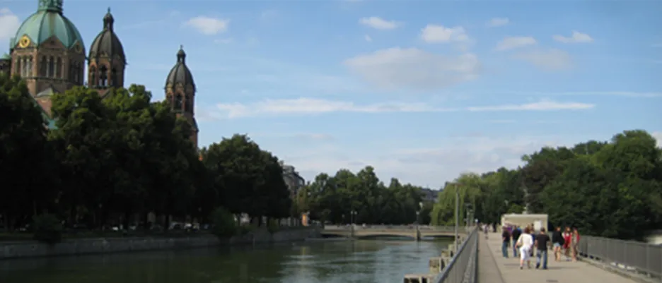
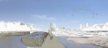
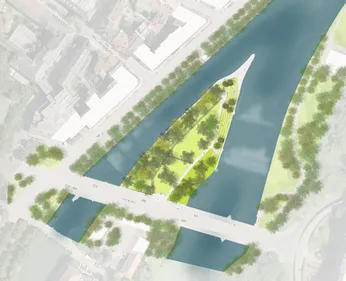
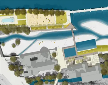
With the completion of work on the Corneliusbrücke (Cornelius Bridge), the focus of public attention has now shifted to the subsequent section of the Isar River. In the area known as the "inner-city Isar" down to the Maximiliansbrücke (Maximilian Bridge), the river is divided by the Museumsinsel (Museum Island) and Praterinsel (Prater Island) into the "small" and "large" Isar. Historical buildings often come right up to the riverbed in this area. However, the city appears to have turned away from the river in this section. The riverbanks are dominated by roads and are less accessible and usable than the "wild" sections of the river. On various planning and political levels, there is currently a discussion underway regarding whether and how the city should reorient itself towards the river in this section. Ideas range from a cultural beach to a concert hall in the gravel bars of the Isar.
Task
The excursion within the project area is designed, organized, and conducted by the students as a series of Situationist expeditions in group work. During the research phase, the knowledge gained from the analysis of an initial waterfront project at the LAO Chair in 2008 serves as a foundation. The research phase focuses on the analysis of discussions and planning processes for the Isar project location and international reference projects in the context of the city and the river.
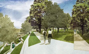
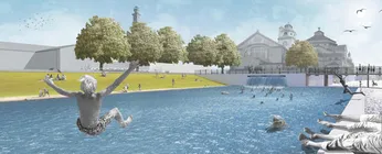
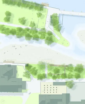
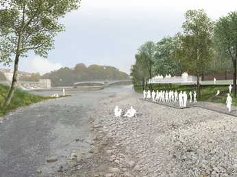
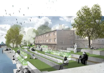
In the spirit of "Strategic Design," spatial designs for the inner-city Isar area are subsequently developed by teams of two. These designs aim to initiate and contribute to public discussions about a unique relationship between the city and the river. In the first step of the design phase, fundamental concepts and strategies are developed regarding how the river and the city can and should come closer together. In the second step, concrete designs along the river are elaborated. These designs are intended to create incentives for discovering the urban qualities of the river through specific, permanent, or ephemeral interventions, sensitizing public perception towards the concept.
Supervision
Prof. Regine Keller, Dipl.-Ing. Felix Lüdicke, Dipl.-Ing. Thomas Hauck, Dipl.-Ing. Michel Hinnenthal
