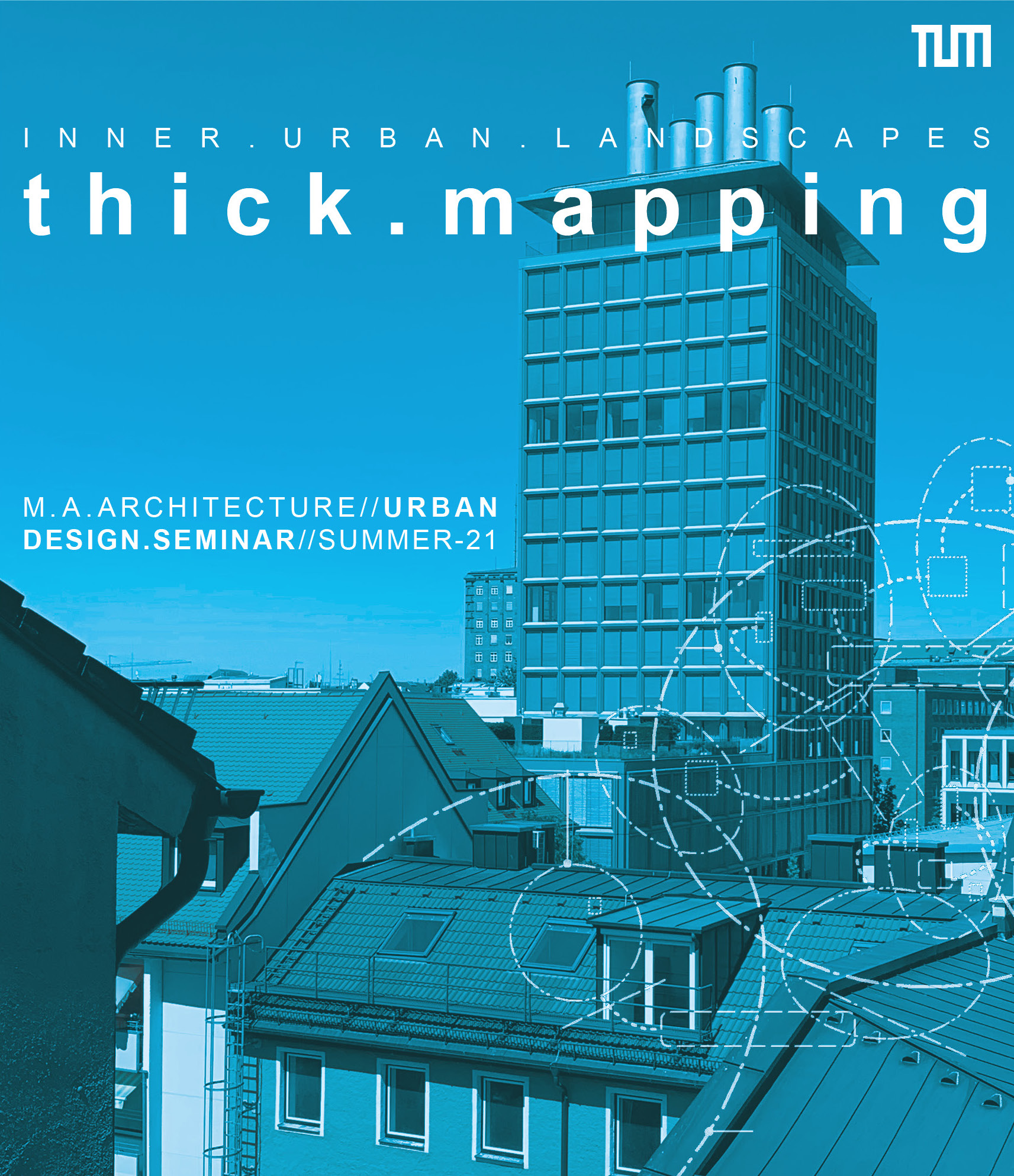
Thick Mapping
Mapping Seminar in the Müllerstraße Area in Munich, s2021
Together with students of architecture, landscape architecture and urbanism we started the “Thick Mapping” seminar project in which we seek to explore a series of promising mapping instruments through which we can broaden our understanding of urban situations. "Thick mapping" is conceived as a means of engaging with the thickness of urban reality in architectural and urban analysis. The term relates to the method of “thick description” in the social sciences and related fields. It seeks to describe with as much detail as possible the reason, motivation and meaning behind human (inter-)actions. Initially coined by the British philosopher Gilbert Ryle, the term became widely known through the work of cultural anthropologist and ethnographer Clifford Geertz (1973). Geertz suggests that in his field of study researchers are typically facing a “[...] multiplicity of complex conceptual structures, many of them superimposed upon or knotted into one another, which are at once strange, irregular, and inexplicit, and which he must contrive somehow first to grasp and then to render.” (ibid., p.10)
If we conceive of mapping as a particular kind of describing and analysing, the thickness of mapping corresponds with the thickness of issues, processes and phenomena which we encounter in urban reality. Thick mapping, then, could be conceived as a method of engaging with the complexity and entanglements that shape and influence our urban spaces.
In line with the narrative logic of descriptions, our approach to thick mapping is based on the adding of several mapping layers, or methods, on top of each other – one after the other. This way, we move from a set of standard mapping tools in architecture and urbanism to a set of extended tools, which we then enrich further. We are working with a series of tools that originate from either outside the discipline or from the margins of architectural and urban representation. From Situational Analysis in the social sciences, we take the model of social worlds/arenas through which we seek to represent the complex mix of conflicting interests that act upon a given situation (Clarke, Friese and Washburn 2018). We also want to establish a multi-scalar mapping perspective augmented spatial relations.
We would like to thank Carsten Jungfer and Fernanda Palmieri for presenting and discussing the "Relational States of Dalston" (Jungfer and Palmieri 2019) mapping project in the seminar. The project originated from their research-led teaching at the University of East London. In 2018 students conducted a socio-spatial analysis of a series of key actors and community-orientated spaces in Dalston in the London Borough of Hackney. The project received public funding, was exhibited in the Print House Gallery and informed the current Dalston Area Action Plan.
We would like to thank Julia Micklewright for presenting her mapping analysis of boundaries and front garden spaces in a peri-urban neighbourhood. Thanks also to Yona Schreyer and Julia Micklewright for their contributions to the seminar debate and site visit to Müllerstraße in Munich.
Norbert Kling (n.kling@tum.de) and Tasos Roidis (tasos.roidis@tum.de)