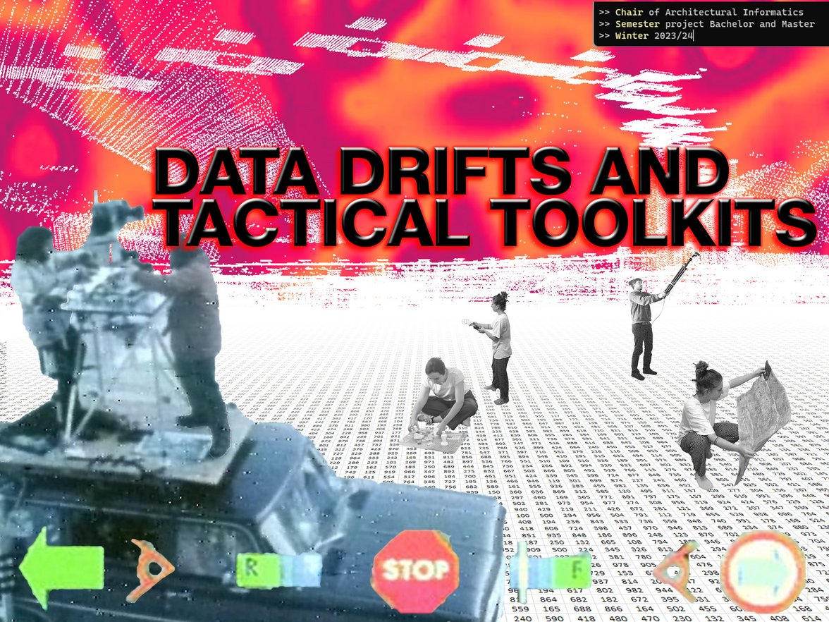
Data Drifts and Tactical Toolkits
Projekt im Wintersemester 2023/24
Tutors: Prof. Dr.-Ing. Frank Petzold, Ivan Bratoev M.Sc., Matti Drechsel M.A., Nick Förster M.A., Dr.-Ing. Gerhard Schubert
Complex urban issues like the transformation of mobility infrastructure require the collaboration of diverse stakeholders and affected groups. At the same time urban data and analytical tools are powerful planning perspectives – which are however limited to an expert audience. Therefore, in this project we explore how we can combine situated knowledge with urban data in decision making processes.
During this semester project we will create participatory tool kits in the context of the EU-research project Mobility NEBourhoods. This project explores how sustainable traffic infrastructures can be designed and implemented in Neuperlach through a hybrid co-creation process.
Building upon experimental participatory formats, we will ask how digital technologies like Augmented Reality, generative AI, or gamified Applications can support co-creation processes. Thus, we will develop tools to contextualize urban data, incorporate perspectives of multiple stakeholders and mediate heterogeneous collaborations.
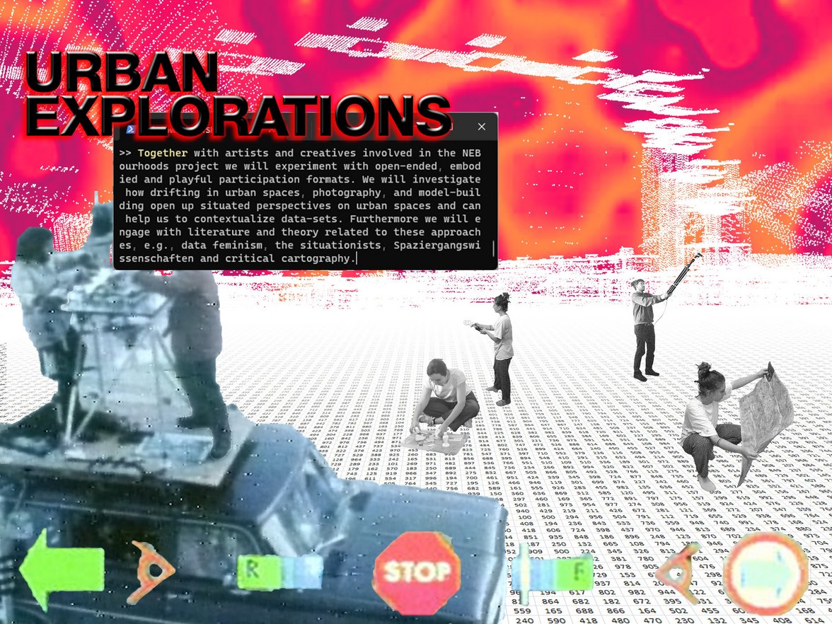
Urban Exploration
Together with artists and creatives involved in the NEBourhoods project, we experimented with open-ended, embodied, and playful participation formats. We investigated how drifting in urban spaces, photography, and model-building opened up situated perspectives on urban spaces and could help us to contextualize data-sets. Furthermore, we engaged with literature and theory related to these approaches, e.g., data feminism, the situationists, Spaziergangswissenschaften, and critical cartography.
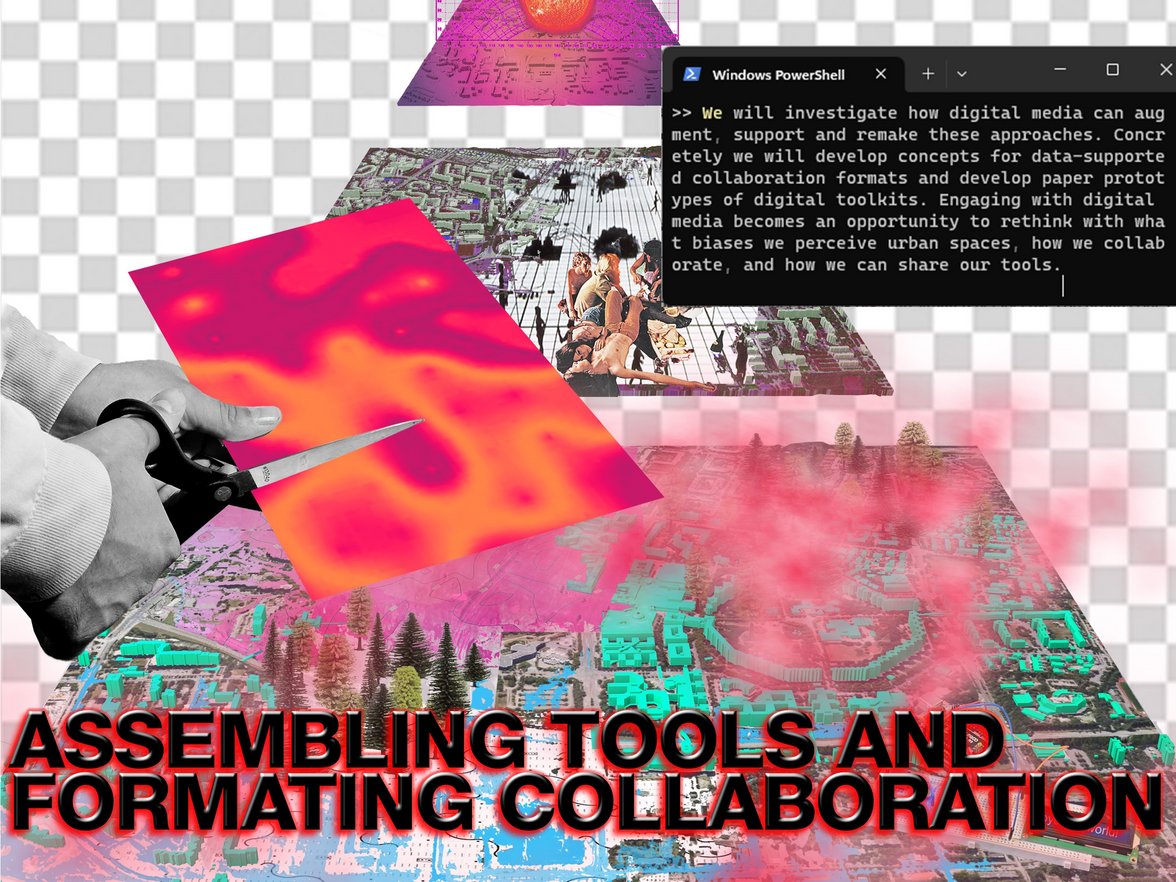
Assembling Tools and Formating Collaboration
We investigated how digital media could augment, support, and remake these approaches. Concretely, we developed concepts for data-supported collaboration formats and developed paper prototypes of digital toolkits. Engaging with digital media became an opportunity to rethink with what biases we perceived urban spaces, how we collaborated, and how we could share our tools.
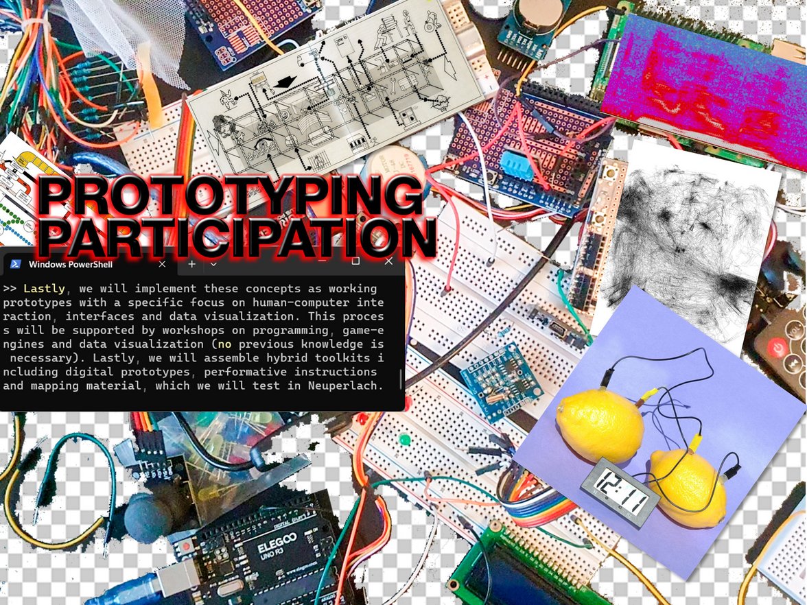
Prototyping Participation
Lastly, we implemented these concepts as working prototypes with a specific focus on human-computer interaction, interfaces, and data visualization. This process was supported by workshops on programming, game-engines, and data visualization (no previous knowledge was necessary). Lastly, we assembled hybrid toolkits including digital prototypes, performative instructions, and mapping material, which we tested in Neuperlach.
Mehr Informationen
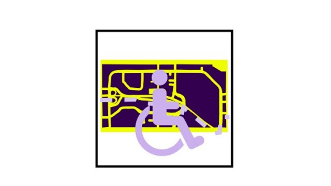
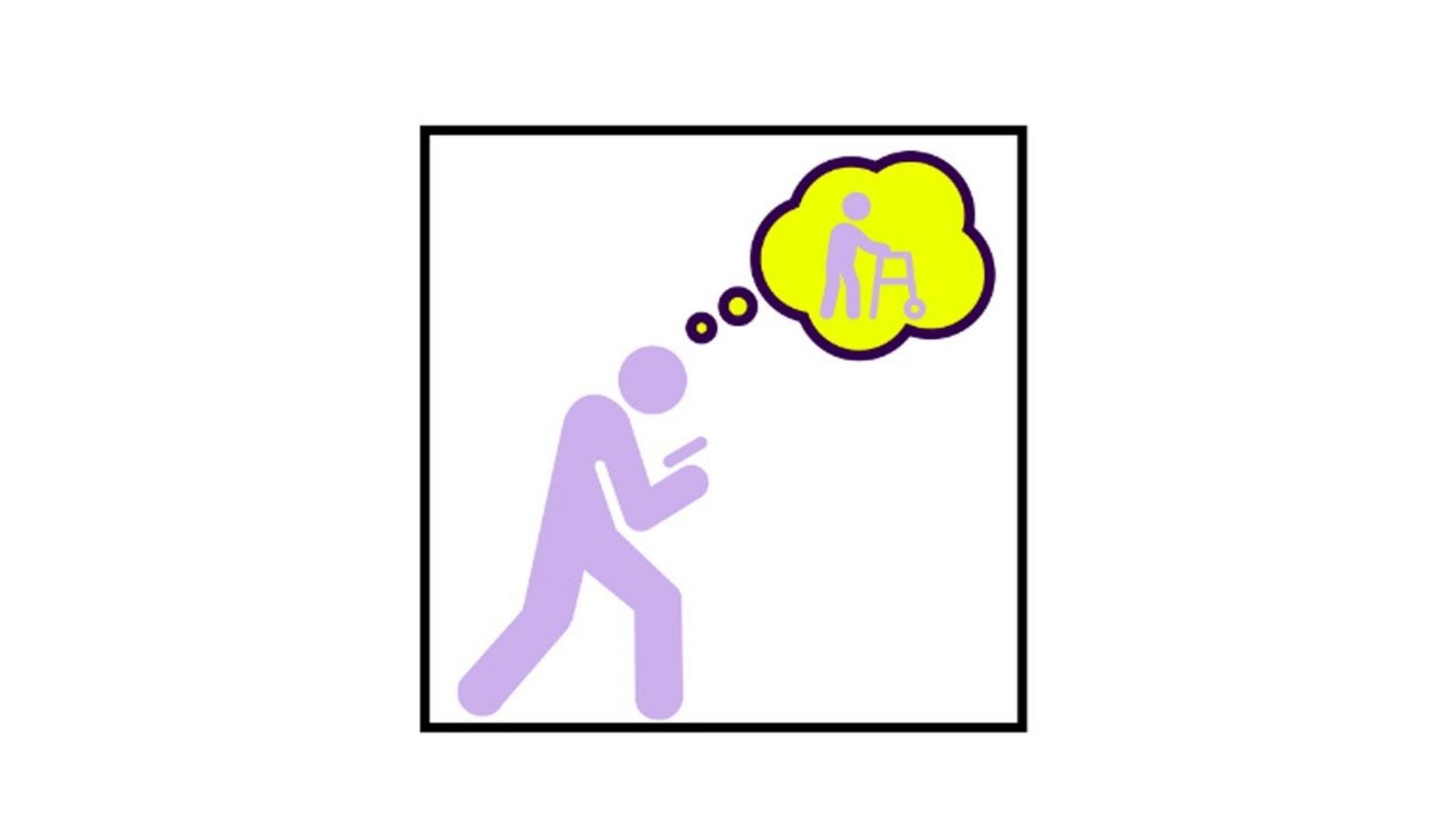
Co-Locate
Yun Lou, Maximilian Schulte, Xiaochen Sun, Yuan Zhang
In this app participants are getting a route for strolling generated randomly. People using MobAD like wheelchairs or walkers are encouraged to participate. Every participant than walks the route and marks barriers are missing facilities for mobility. Also suggestions of infrastructure can be made. With that detailed maps of a given space are developed which can be used to find on a small-scale spots which are best suited for Hubs or to improve the existing infrastructure
Mehr Informationen
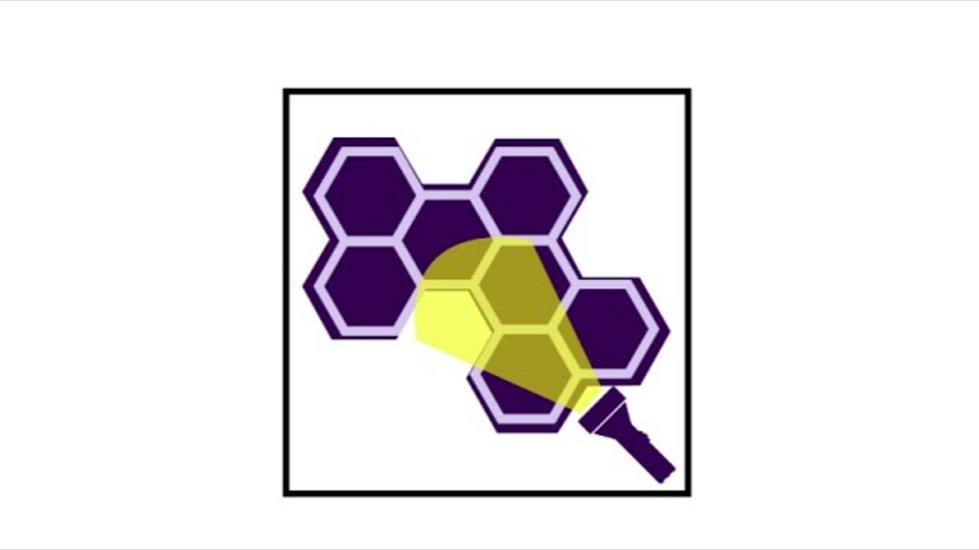
Blindspots
Luisa Herklotz, Jana Liszewski, Nicola Pfennich, Charlotte Schöffend
This project aims to comprehend individual feedback with the goal of increasing visibility for specific locations in Neuperlach, identified by the group as BlindSpots. The app collects audio from groups at predetermined spots around Neuperlach. This planning process can facilitate the swift gathering of people's opinions about a space and help identify its strengths and weaknesses.
Mehr Informationen
ARcanvas
Agi Hidri, Neziha Ismail, Julia Węgrzyn, Viktoriia Yurzinova
The students of this project aimed to creating an augmented reality environment in which participants could place different props from benches and trees to zebra-crossings and traffic lights. The props where geotagged so that planners then can create maps of the distribution of different props. Also saved with the props are sociodemographic data of the participants. In this way a large database of problematic spots and proposed functions is created. In a planning process this can help finding spots suited for Hubs and also how to configure them.
Mehr Informationen
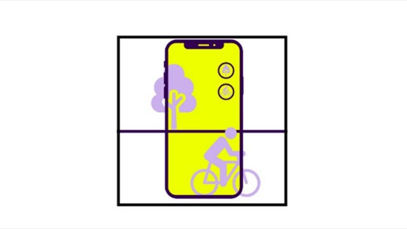
City Swipe
Bruna Gerling, Carolina Meirelles, Gony Amir, Paula von Houwald
This app is about gathering the citizens personal opinion related to emotional connection in specific places in Neuperlach. Here the participants have to activate the app and their smartphones GPS to be notified every time when they pass by predefined spots in the city. They then are asked to swipe the picture left or right according to a category which is shown to them on the picture. After that the participant is given the opportunity to leave a free comment about the place. With that simple quantitative Data is collected which can easily be evaluated via a GIS and with that give planners hints about problematic or very positive spaces within a city. They than can research how these spots can be improved or how the city could profit from their positivity.
Mehr Informationen
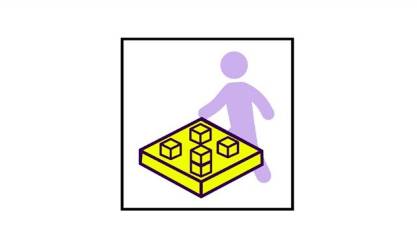
Cubic Visions
Carla Sauvant, Chenxuan Ren, Ruilin Dong
Using RFID tags this project aimed to creating a solution for the design-workshop participating common people via model building. Therefore, easy to use physical cubes are used to digitally configure a hub, alter it and fit it into a given environment. This is done by using RFID tagged cubes which are activated by contact with a counterpart on a special table or another cube. A RFID Reader can then detect the specific cube, its location and neighbouring cubes. With that information a digital perspective is build up. Also, there is a crafting system with different cubes changing their functions and appearances when placed in a special location relative to another cube. This way a workshop with participants about the design and configuration of the hubs could be streamlined.
Mehr Informationen
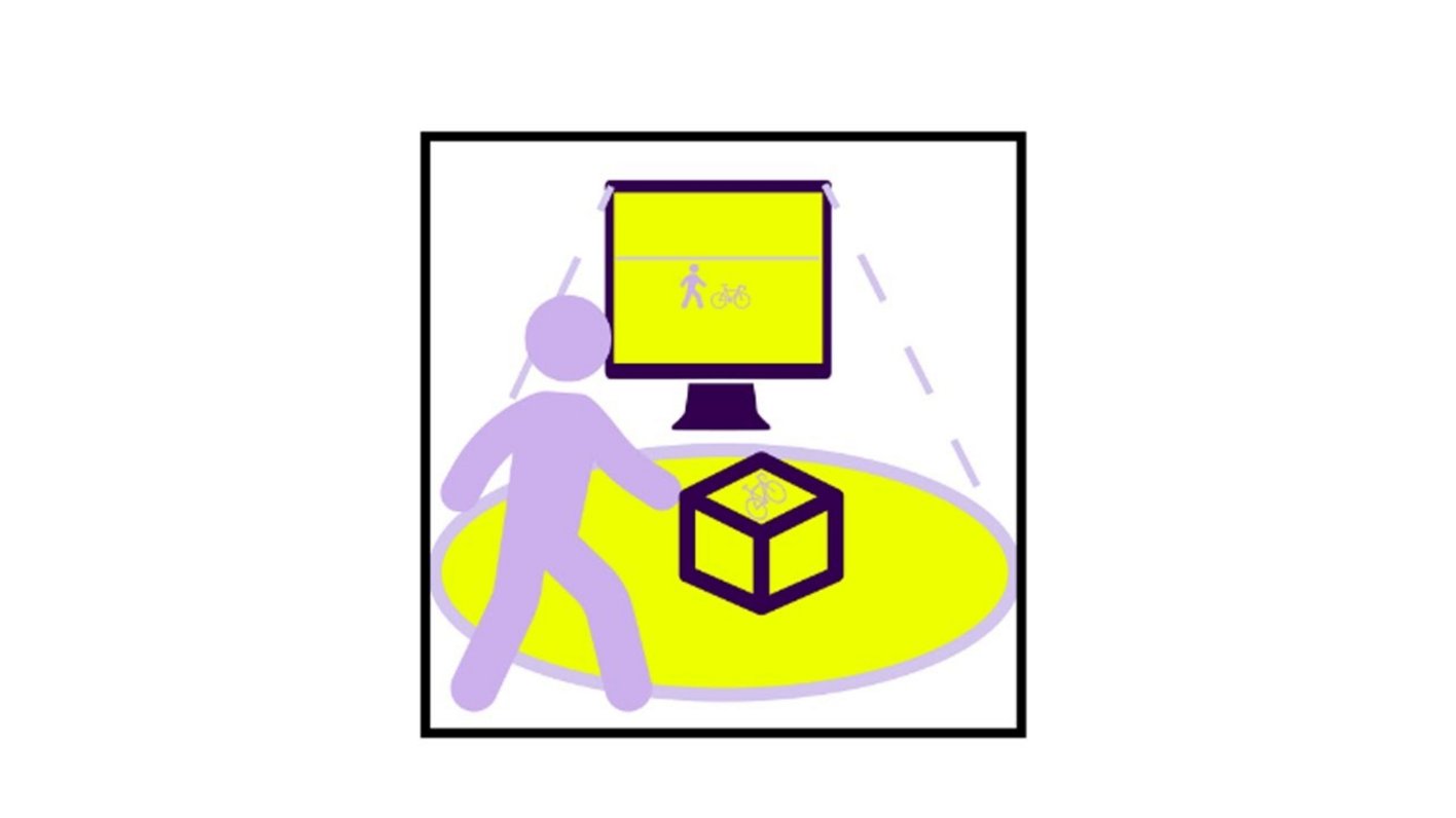
Mark your Fututre
Lisa Ableitner, Alissa Schulteß, Anna Zieziula
This app is running on a media column placed at a future projects site. It has a touch screen and a webcam facing the actual site. Now the participants can place large cube – optical markers – to configure their own hub right at location. The App transforms the optical markers into real life Hub-modules right away. So, Participants have a direct feedback of their creations. This can help raising awareness and approval of the project in a neighbourhood. Also, this way data is collected which can be used to configure the real Hub for this location.
Mehr Informationen
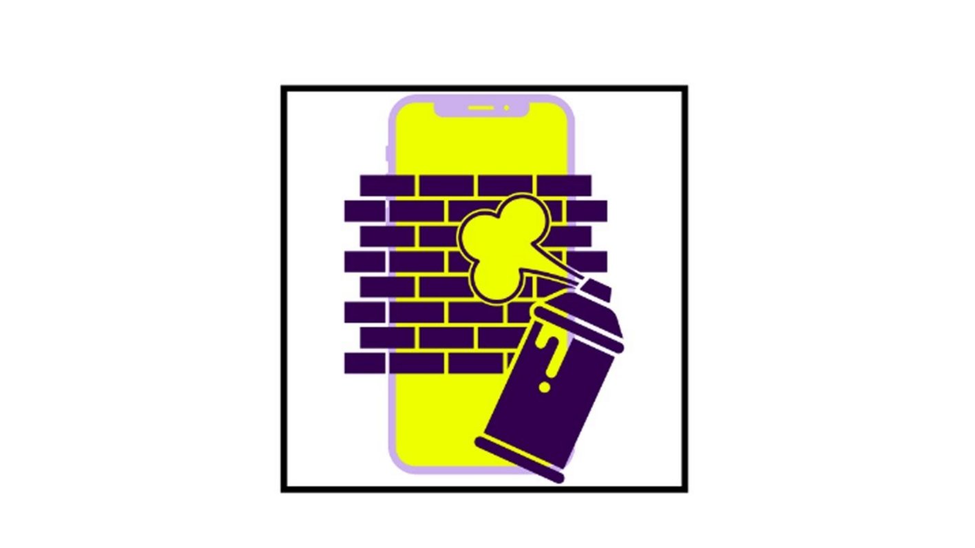
Graffiwhere
Mariam Suwwan, Taiane de Melo Nepomuceno, Chenyuan Wang
This app aims to encouraje graffiti as a form to express your opinions at a place. Graffiwhere is a form to paint graffiti online in augmented reality instead of in reality. Which offers some advantages over the real thing including not being illegal and also being more permanent, since no one will remove it. In this way participants can express their feelings about different places and also propose changes they seem fit to it. For planners this can be interesting to qualitatively explore a certain area.
Mehr Informationen
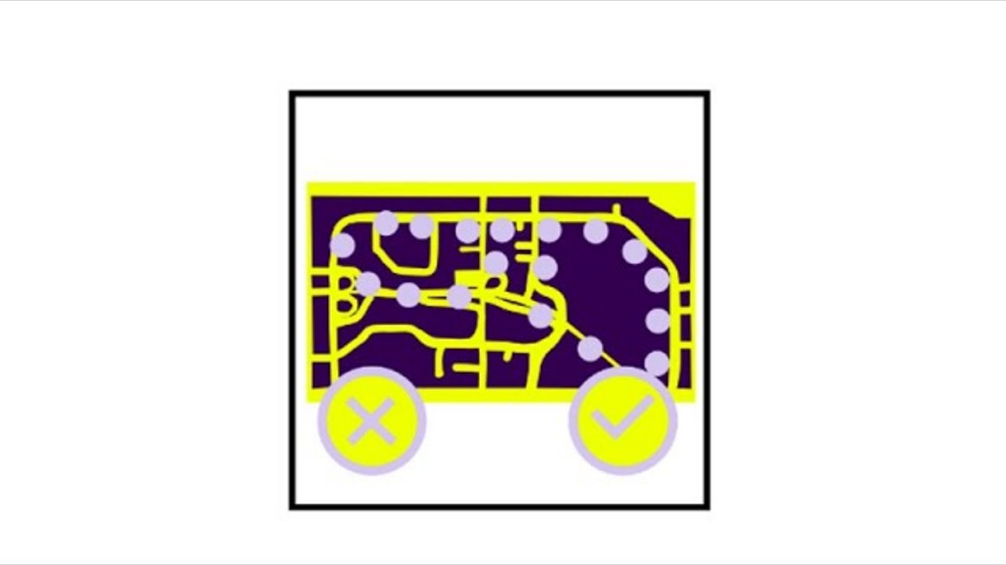
Drifter
Justine Morin, Wen-Shan Cui, Buket Göksen
In this project, users are tasked with participating in predefined challenges within the app, such as the Elderly People Challenge, Kids Safety Challenge, and Night Safety Challenge. During these challenges, users can gain energy by passing through benches, streetlights, traffic lights, or bridges, or by identifying areas where additional infrastructure is needed. The goal is to make citizens gain a different perspective on the neighborhood. Addiotionally, the data collected can be valuable for city planners during the urban planning process.
Mehr Informationen
Immersio
Daniel Gaar, Tuan Pham
Here, the students created a digital model of Neuperlach in which participants can place different props according to their mobility needs. The props then generate different emissions like smell or noise. The app simulates and visualizes this and gives the participant a visual feedback. The app then encourages participants to rethink their proposals or even start in a rethinking process by telling them to visit the actual space at a certain time. The authors of the app wanted to create a planning tool in which participants are directly confronted with the consequences of their decisions and with that ensure an informed design process.