
Tooling Urban Futures
Projekt im Wintersemester 2024/25
Tutors: Prof. Dr.-Ing. Frank Petzold, Nick Förster M.A., Dr.-Ing. Ivan Bratoev, Dr.-Ing. Gerhard Schubert
This studio was a joint venture of the Chair of Architectural Informatics, Prof. Matthias Ottman, and Prof. Elisabeth Merk.
Topic
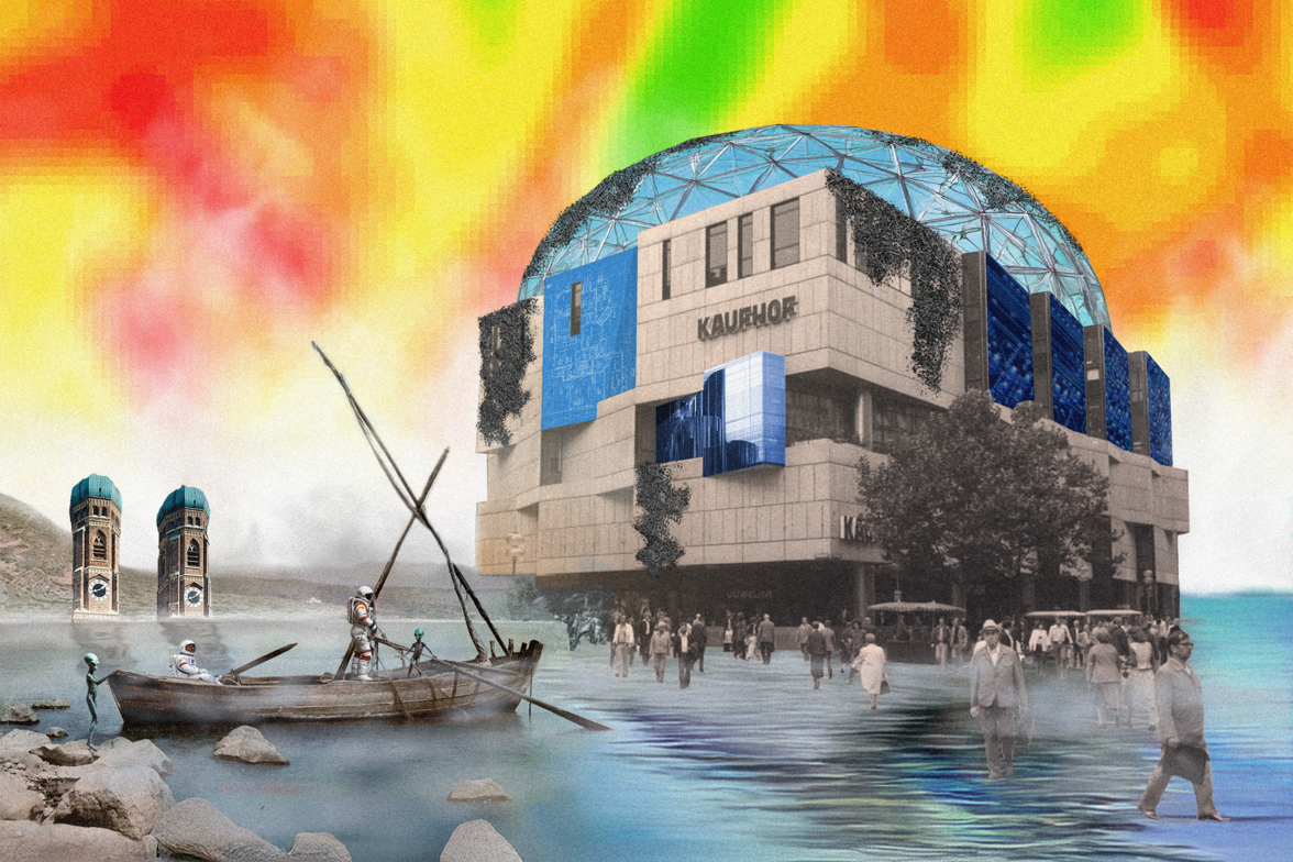
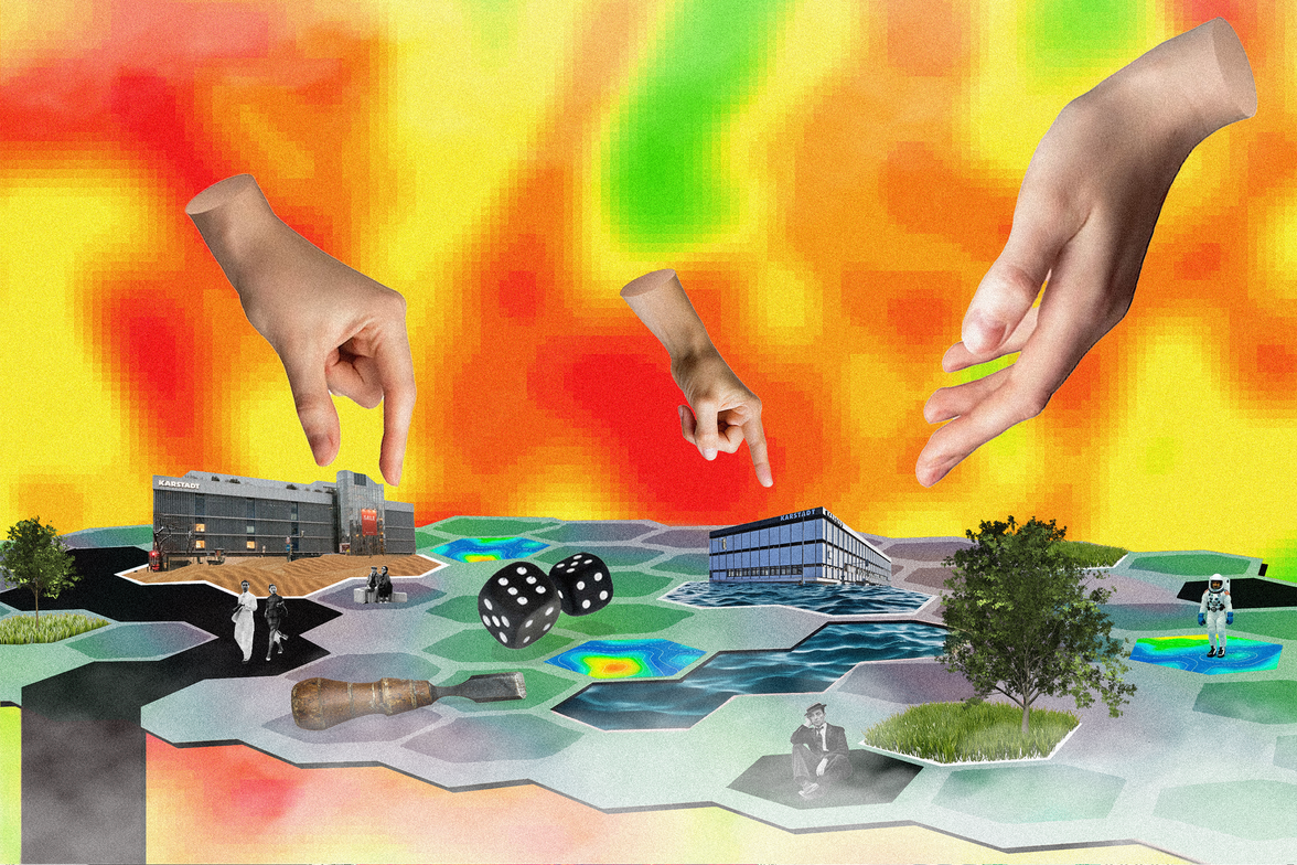
Vacant department stores, monofunctional pedestrian zones, and overheating streets were symptoms of the poly-crises threatening the centers of diverse German cities. Retail structures, functions, and spatial concepts that had shaped inner cities for decades were facing increasing pressure. This debate crystallized around the collapse of SIGNA (holder of “Galeria Karstadt Kaufhof” warehouses), which posed central questions regarding the future of diverse department stores and the surrounding urban spaces. We approached this moment of crisis as an opportunity to rethink pressing questions concerning the inner city: How could we conceive new functional concepts and reshape common urban spaces? How did we reuse the building stock in a socially accessible and climate-neutral way? How did we create livable and accessible public spaces?
Tools
Instead of focusing on single building designs, we addressed these questions through (digital) tools. Historically, architectural instruments had been more than a mere means to an end. Visionaries ranging from Yona Friedman and Superstudio to Keller Easterling used digital media to imagine radical planning practices and rethink urban futures. For us, designing tool kits became a critical perspective to rethink problems and questions of the inner city. Making games and negotiation kits allowed us to explore the qualities of urban space, rearrange actor constellations, and configure planning processes. At the same time, developing digital tools linked situated planning problems with a general strategic perspective. We considered the making of digital tools as a practical form of Science Fiction.
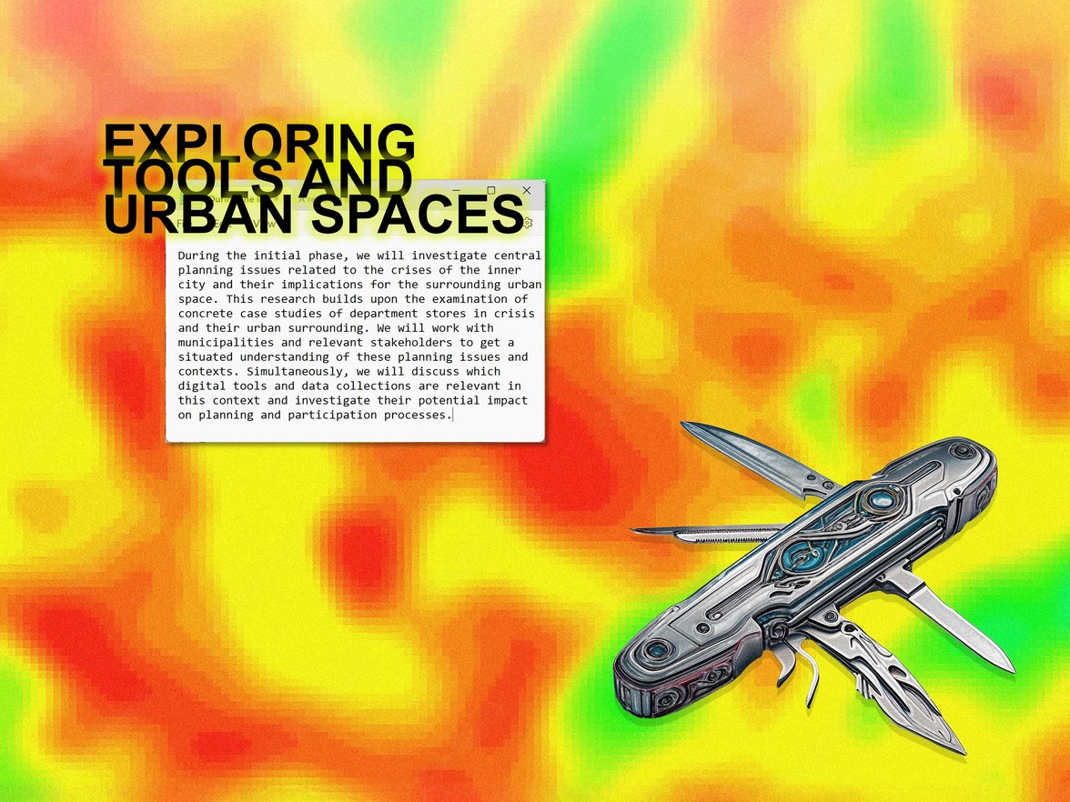
Phase 1: Research
During the initial phase, we investigated central planning issues related to the crises of the inner city and their implications for the surrounding urban space. This research built upon the examination of concrete case studies of department stores in crisis and their urban surroundings. We worked with municipalities and relevant stakeholders to get a situated understanding of these planning issues and contexts. Simultaneously, we discussed which digital tools and data collections were relevant in this context and investigated their potential impact on planning and participation processes.
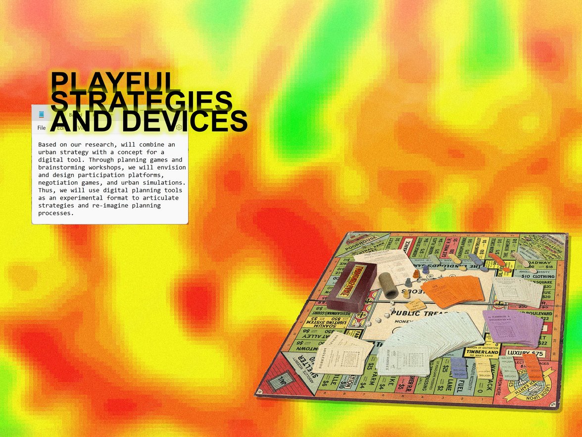
Phase 2: Concept
Based on our research, we combined an urban strategy with a concept for a digital tool. Through planning games and brainstorming workshops, we envisioned and designed participation platforms, negotiation games, and urban simulations. Thus, we used digital planning tools as an experimental format to articulate strategies and re-imagine planning processes.
Phase 3: Prototyping
We implemented the emerging concepts as working prototypes. Programming workshops provided necessary skills in Game Engines, Grasshopper, AI tools, Data Visualization, and Mixed Reality. At the same time, we worked on a collective platform, binding these projects together – a collective database of toolkits, urban imaginaries, and visions for future urban spaces.

Draw Your City
Ruoxi Yang, Ruijie Ma, Yuan Zhang
“Draw Your City”, redefines the public experience of participating in urban design. Users simply take a photo of an existing building or scene, sketch a basic idea, and input relevant prompts. The AI then transforms the sketch into diverse and professional design proposals. In the Co-Desig Phase, users can not only design small elements such as greenery, streetlights, and signage, adding vitality and character to the street, but also extend their individual designs to neighborhood-wide planning, or adjust the street atmosphere and functional layout. In the Visualization and Exploration Phase, the integration of augmented reality (AR) introduces an “immersive urban walk” feature. In the Evaluation Phase, users are encouraged to provide real-time feedback on the generated designs. By combining this data with the prompts used during image generation, urban planners, architects, and other professionals can gain deeper insights into the public’s vision for future urban design


Mehr Informationen

Find your spot
Benedetta Cairo, Nick Radowsky, Silvan Salvator
The project analyzes accessibility in Munich, understood not only as ease of movement but also as access to urban resources. Accessibility, distinct from mobility, is essential to ensuring the „right to the city“ and depends on the interaction between transportation and urban activities. While Munich has an efficient public transport system, suburban areas still rely heavily on cars. Additionally, urban vibrancy, made of economic, social, cultural, and environmental factors, plays a key role in evaluating and improving accessibility. The web application focuses on helping users find apartments in areas with high accessibility based on their specific needs. Users input key preferences, such as points of interest (POIs), workplace, transport mode, and time frame, while the system generates a combined isochrone map, highlighting optimal areas.


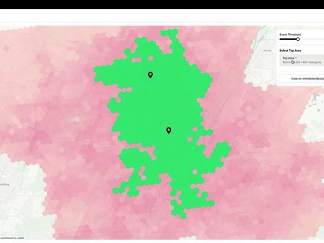
Mehr Informationen
Mehr Informationen
Contro Map
Maxim Yurin, Gustave Lahon
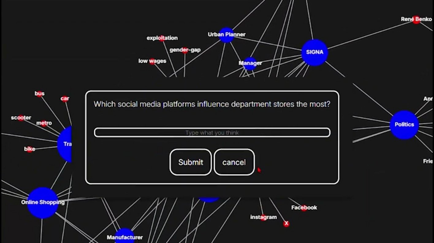
The project aims to use the digital realm to organize and cluster different talking points in order to reveal trends and thinking patterns tailored to specific topics. An important step in the development of the concept was the recognition of intransparency and bureaucracy as barriers to participation and the maintenance of an appropriate urban environment.
An approach proposed by the contemporary French philosopher Bruno Latour is applied, who is known for his theories on analyzing controversies and visualizing them in such a way that it becomes evident who the important actors of a network are and how they interact. The main feature of Latour’s approach is the equivalence between human and non-human actors,
which helps to identify key stakeholders and reveal knots within networks. This framework provides an opportunity to expose power imbalances and to highlight how humans (e.g., shoppers, developers, politicians) and non-humans (e.g., zoning laws, digital infrastructure, architecture, online shopping) interact without overcomplicating the process. This perspective ensures that even less visible influences, such as technological systems or economic policies, are accounted for by collecting and organizing them.
Tailored questions serve as entry points,
designed to challenge general assumptions and reveal unobvious complexities.
Examples include:
“Who should decide the future of department store buildings once they are not profitable?”,
“What should be the role of the law regarding the design of department stores?”,
“What is responsible for urban decay?”,
or “Who owns your local department store?”


Nest Use
Julius Hach, Magnus Huber, Regine Stammermann
Im Rahmen des Projekts zur Entwicklung eines digitalen Werkzeugs liegt der Fokus zunächst auf der Analyse sozialer und nachhaltiger Stadtentwicklungsmethoden sowie ökonomischer Ansätze zur Nachnutzung innerstädtischer Immobilien. Ein wichtiger Bestandteil des Projekts ist die Einbeziehung unterschiedlicher Perspektiven, darunter die von Investoren und Stadtplanern. Darüber hinaus erfolgt eine systematische Analyse der Zukunftsfähigkeit solcher Nachnutzungskonzepte unter Berücksichtigung von Aspekten wie Nachhaltigkeit, Resilienz und langfristiger wirtschaftlicher Tragfähigkeit. Das stud entische Projekt zielt darauf ab, einen Algorithmus zu entwickeln,der datenbasierte Standortanalysen mit konkreten Handlungsempfehlungen für die Nachnutzung von Kaufhäusern verbindet. Durch die Verknüpfung von Standortfaktoren, wirtschaftlichen Tragfähigkeitsanalysen und sozialen Bedürfnissen soll ein digitales Werkzeug entstehen, das adaptive, nachhaltige Nutzungskonzepte identifiziert. Auf diese Weise soll Kommunen und Entscheidungsträgern ermöglicht werden, geeignete Strategien für eine zukunftsfähige, wirtschaftlich tragbare und gesellschaftlich wertvolle Nachnutzung zu entwickeln, und damit langfristig die Resilienz und Attraktivität der Innenstädte zu stärken.


Mehr Informationen