Research Methods in Landscape Architecture and Urbanism
The module addresses methodological approaches to Mapping and Research through Design.
Mapping is taught as a practical drawing tool: going far beyond graphics and the representation of spatial relations, it is used to make the non-physically perceptible visible with the help of physical-material structures. Mapping becomes an analytical and research tool for investigating the mediating level between social and physical space and their spatial qualities.
In Research through Design, we engage with the theory of design-led research, with the quality criteria of scientific knowledge and their application, using the mapping results as the basis for our designing research.
Degree programmes and semesters
In the Landscape Architecture programme: 6 ECTS
In the Urbanism programme: 5 ECTS
The module is not offered in the summer semester.
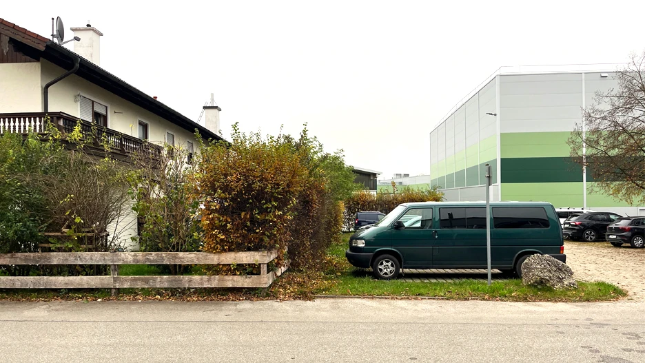
WS 2025/26: Grey Zones on the Fringe
Typological study of rural and suburban industrial/commercial areas in the Munich metropolitan region: identifying structures, mapping potentials, systematising spaces.

Industrial and commercial areas on the fringes of rural–suburban settlements are often regarded as functional yet isolated spaces – characterised by car-oriented traffic, monofunctional land use, and low urban spatial quality.
In the seminar, these grey zones will be understood typologically, analysed and critically examined in terms of their spatial characteristics, and explored for their design potential. The aim is to investigate approaches for a future-oriented, integrated development of these often still neglected spaces.
After registering in TUMonline, you will gain access to the Moodle course.