Thick Mapping
Arguing for the extension of mapping tools in architecture and urbanism.
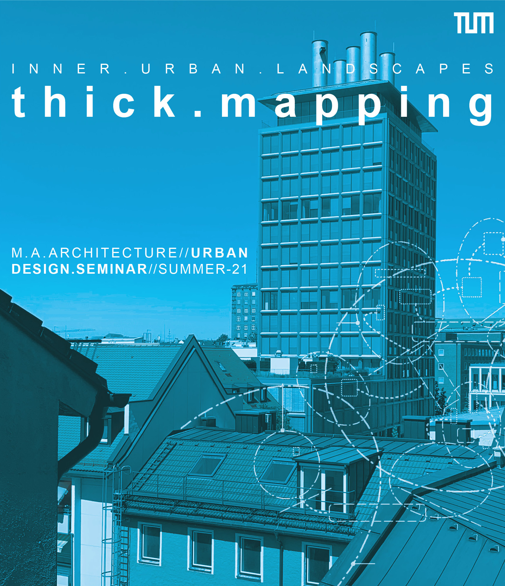
Norbert Kling and Anastasios Roidis, July 2021
We have to constantly refine and deepen our understanding of the shifting relations between ecological, social and economic aspects if we want to make our urban environments more sustainable. Could we develop a broader view on spatial processes through working with mapping tools that originate from either outside the discipline or from the margins of architectural and urban representation?
Architects and urban designers frequently use maps as part of their site analysis and design processes. Not only do they integrate and analyse existing maps – they often are producers of maps. They use them to show the spatial context of a specific site, to develop their agendas, to communicate ideas, to justify their interventions.
There are many possibilities and opportunities for mapping in architecture and urbanism. However, the mappings and drawing representations produced by the discipline at large seem to evolve around a limited number of standard representations. They typically include representations of floor plans, land uses, built-up areas, transport networks, or densities. Because of the complexities involved, they tend to focus on a single aspect. Moreover, they usually do not address factors that are considered to be outside the discipline. As a consequence, the mappings’ analytical and representational range is limited.
We argue that in view of the constantly changing nature of the built environment and the ideas and interests we associate with it, we constantly need to push the limits of architectural and urban representation. We argue for the need to challenge established conventions through including mapping tools that originate from either outside the discipline or from the margins of architectural and urban representation. We need to place more attention to process and time, as well as the wider frameworks that influence architecture and the built environment.
As part of our proposal to challenge, revise and constantly extend the mapping tools in architecture and urbanism we put up for discussion a series of theses:
- Mapping is not neutral Maps influence the ways we see and understand a given issue. However, there is no neutral way of observing, collecting of data, analysing and representing data. Decisions have to be made about what to present on a map and how to present information. There are reasons why authors show things in a map in one way and not the other, or why certain aspects are excluded. This is why there is always a tendency, or certain perspective attached to a map (Corner 1999).
- Access to data Access to and availability of data play a major role in the production of maps. New technologies provide new means to generate and access data. However, many people do not have the resources to access data or the knowledge to work with them. There may be groups of people, institutions, or other actors who may have an interest in not providing data that could be used for mapping. Conversely, mapping methods can be conceived in such a way that they do not rely on external resources while being accessible to non-experts.
- Mapping as empowerment The self-making of maps can put people with different backgrounds as well as communities in a position to better understand their relation to an issue, process, or spatial situation. Maps are powerful tools for representing different kinds of inequality, conflicts and marginalisation. There is an empowering effect in mapping. Maps can be shared with others, bring people together and inform debates, provided the data, mapping process and outcomes are accessible and communicable (Kling 2020, pp.304-307).
- Co-producers of reality Maps are not simple representations of reality. They are added to the world by humans who conceive, reproduce and work with them. Maps are all around us and part of our reality. They are co-producers of reality in the hands of their users.
- Maps do political work Maps inform decisions. They influence the way we see a particular aspect of the world. They may be used to legitimise certain actions, or act in one way and not the other. Maps are related to questions of knowledge and power and do political work. Countermapping is a means of challenging dominant modes of mapping and established representations of the world and the status quo (kollektiv orangotango+ 2018). In this sense, maps can become instruments of change.
- Aggregation and disaggregation We can arrive at a meaningful map through aggregating, or intersecting different kinds of information. We start with a single category, add further categories and establish connections. Technology enables us to move the other way, starting with highly complex sets of related data which become accessible and legibly through the gradual reduction of categories and layers of information.
- Simplification and complexification Mappings are powerful tools for showing real or imagined relations between sites, issues, actors, spaces, discourses, or other elements. They introduce structure to a seemingly disconnected and chaotic world. Maps are part of our reality – they are added to the world by those who produce them, and in this sense add to the complexification to the world. At the same time, they remain simplifications of the mapped reality to which they refer.
- Relating social and material worlds The material reality of our urban environments is closely related to socio-economic processes, urban politics, personal choices and desires, legislation and many other factors. While the study of the material world can reveal some of these factors, others remain hidden. We argue that the joint study of the material and social world produces a fuller and ‘thicker’ understanding of urban spaces (Kling 2020, pp.32ff).
- Moving from macro-levels to micro-levels, or vice versa Mappings enable us to connect macro-level processes to the many small-scale phenomena which we can observe in our everyday urban environments. Levels should not be seen as separate spatial entities, but as related processes that are present on each site. In terms of analysis, the relationship can be exploited in different ways. We can engage with macro-level processes and make assumptions about how they may affect local conditions. This knowledge may provide orientation while studying specific local phenomena and serve as a framework for drawing comparisons between different sites. Conversely, through observing local phenomena, we may infer assumptions about macro-level processes.
- Resolution In mappings, we choose the resolution of what we put in focus. We may look at network infrastructures in a metropolitan region, an urban quarter, or a building complex; we may look at social processes, the negotiation of issues between different groups, or the interaction between two individuals. In maps, different sites, issues, actors, spaces, or discourses are never far away from each other.
Hence, in our view, maps do not merely ‘reflect’ reality, nor are they neutral instruments of analysis. Maps are added to the world. They do political work. They may be used to legitimise certain actions, or act in one way, and not the other. They are related to questions of knowledge and power. They influence the way we see a particular aspect of the world.
Together with students of architecture, landscape architecture and urbanism we started the “Thick Mapping” project in which we seek to explore a series of promising mapping instruments through which we can broaden our understanding of urban situations. We are working with a series of mapping tools that originate from either outside the discipline or from the margins of architectural and urban representation. From Situational Analysis in the social sciences, we take the model of social worlds/arenas through which we seek to represent the complex mix of conflicting interests that act upon a given situation (Clarke, Friese and Washburn 2018). We also want to establish a multi-scalar mapping perspective augmented spatial relations.
Thick Mapping
Together with students of architecture, landscape architecture and urbanism we started the “Thick Mapping” seminar project in which we seek to explore a series of promising mapping instruments through which we can broaden our understanding of urban situations. "Thick mapping" is conceived as a means of engaging with the thickness of urban reality in architectural and urban analysis. The term relates to the method of “thick description” in the social sciences and related fields. It seeks to describe with as much detail as possible the reason, motivation and meaning behind human (inter-)actions. Initially coined by the British philosopher Gilbert Ryle, the term became widely known through the work of cultural anthropologist and ethnographer Clifford Geertz (1973). Geertz suggests that in his field of study researchers are typically facing a “[...] multiplicity of complex conceptual structures, many of them superimposed upon or knotted into one another, which are at once strange, irregular, and inexplicit, and which he must contrive somehow first to grasp and then to render.” (ibid., p.10)
If we conceive of mapping as a particular kind of describing and analysing, the thickness of mapping corresponds with the thickness of issues, processes and phenomena which we encounter in urban reality. Thick mapping, then, could be conceived as a method of engaging with the complexity and entanglements that shape and influence our urban spaces.
In line with the narrative logic of descriptions, our approach to thick mapping is based on the adding of several mapping layers, or methods, on top of each other – one after the other. This way, we move from a set of standard mapping tools in architecture and urbanism to a set of extended tools, which we then enrich further. We are working with a series of tools that originate from either outside the discipline or from the margins of architectural and urban representation. From Situational Analysis in the social sciences, we take the model of social worlds/arenas through which we seek to represent the complex mix of conflicting interests that act upon a given situation (Clarke, Friese and Washburn 2018). We also want to establish a multi-scalar mapping perspective augmented spatial relations.
We conclude with suggesting that we have to develop a deep understanding of the many existing and emerging relations between ecological, social and economic processes if we want to make our urban environments more sustainable. The joint mapping of them is conceived to contribute towards this goal.
We would like to thank Carsten Jungfer and Fernanda Palmieri for presenting and discussing the "Relational States of Dalston" (Jungfer and Palmieri 2019) mapping project in the seminar. The project originated from their research-led teaching at the University of East London. In 2018 students conducted a socio-spatial analysis of a series of key actors and community-orientated spaces in Dalston in the London Borough of Hackney. The project received public funding, was exhibited in the Print House Gallery and informed the current Dalston Area Action Plan.
We would like to thank Julia Micklewright for presenting her mapping analysis of boundaries and front garden spaces in a peri-urban neighbourhood. Thanks also to Yona Schreyer and Julia Micklewright for their contributions to the seminar debate and site visit to Müllerstraße in Munich.

Detail of the “Relational States of Dalston” socio-spatial mapping, reproduced by courtesy of Carsten Jungfer and Fernanda Palmieri
The main literature and references used in the current project include:
Clarke, Adele (2005) Situational Analysis. Grounded Theory After after the Postmodern Turn, Thousand Oaks CA
Clarke, Adele; Friese, Carrie and Washburn, Rachel (2018) Situational Analysis. Grounded Theory After the Interpretive Turn, Thousand Oaks CA, 2nd edition of Clarke (2005)
Corner, James (1999) The Agency of Mapping. Speculation, Critique and Invention, in: Cosgrove, Denis ed. (1999) Mappings, London, pp. 213-252
Geertz, Clifford (1973): Thick Description. Toward an Interpretive Theory of Culture, in: The Interpretation of Cultures. Selected Essays, New York, pp. 3–30
Jungfer, Carsten and Palmieri, Fernanda (2019) Relational States of Dalston. Research Project. University of East London, School of Architecture Computing and Engineering [html] https://repository.uel.ac.uk/item/892wy
Kling, Norbert (2020) Redundant City. A Multi-Site Enquiry Into Urban Narratives of Conflict and Change, Bielefeld [html] https://www.transcript-publishing.com/978-3-8376-5114-0/the-redundant-city/?number=978-3-8376-5114-0
Kling, Norbert and Jungfer, Carsten (2018) Contested Porosities. A Spatial Enquiry into Urban Conflicts in Dalston, East London, in: Wolfrum, Sophie. Stengel, Heiner. Kurbasik, Florian. Kling, Norbert. Dona, Sofia. Mumm, Imke. Zöhrer, Christian eds. (2018) Porous City. From Metaphor to Urban Agenda, Basel, pp.260–265
kollektiv orangotango+ ed. (2018) A Global Collection of Counter-Cartographies, Bielefeld [html] www.transcript-verlag.de/978-3-8376-4519-4/this-is-not-an-atlas/, 2nd ed.
Senatsverwaltung für Stadtentwicklung Berlin ed. (2007) Urban Pioneers, Berlin, co-edited by Overmeyer, Klaus / studio UC
Yaneva, Albena: Mapping Controversies as a Teaching Philosophy in Architecture, in: Stratis, Socrates ed. (2016) Guide to Common Urban Imaginaries in Contested Spaces. The ‘Hands-on Famagusta’ Project, Berlin, pp.147–161, 2016
Zoller, Doris: Schnittstelle Erdgeschoss. Wechselwirkungen zwischen Öffentlich und Privat, Monsenstein und Vannerdat, 2016